Law Enforcement Platform for Real-Time Crime Intelligence
GeoShield is the law enforcement platform that unifies CAD, RMS, video, and agency data into one real-time crime center, enabling faster response and proactive crime reduction.
Trusted by Leading Law Enforcement Agencies
A Complete Crime Intelligence Platform for Modern Policing
Trusted by Leading Law Enforcement Agencies
Smarter Decisions. Safer Communities.
Trusted by Leading Law Enforcement Agencies
Are Your Officers Drowning in Data, Not Protecting Communities?

Command Staffs Face Critical Challenges
- Staffing shortages with officers spending 64% of their time on administrative work
- Siloed data prevents a unified view of crime across jurisdictions
-
Information overload delays critical
decision-making -
Evolving cyber and cross-border
criminal threats
The Cost: Reactive policing, missed opportunities to disrupt criminal networks, officer burnout, and reduced community safety.

Crime Analysts Struggle with Data Chaos
- 60-70% of their time is spent on manual data preparation instead of analysis
-
Disparate systems require constant
manual correlation -
Lack of formal problem identification
processes -
Limited predictive capabilities for
proactive policing
The Reality: Crime analysts become data wranglers instead of strategic crime prevention experts, limiting your agency's ability to stay ahead of criminal activity.
Introducing GeoShield: A Unified Police
Operations Platform
Purpose-built for law enforcement, GeoShield turns your existing data into a unified intelligence advantage: one source of truth across every system.

Force Multiplier
Effect
Do more with existing staff. Automate intelligence gathering and analysis, freeing officers for high-impact community engagement and proactive crime prevention.

Real-Time
Intelligence
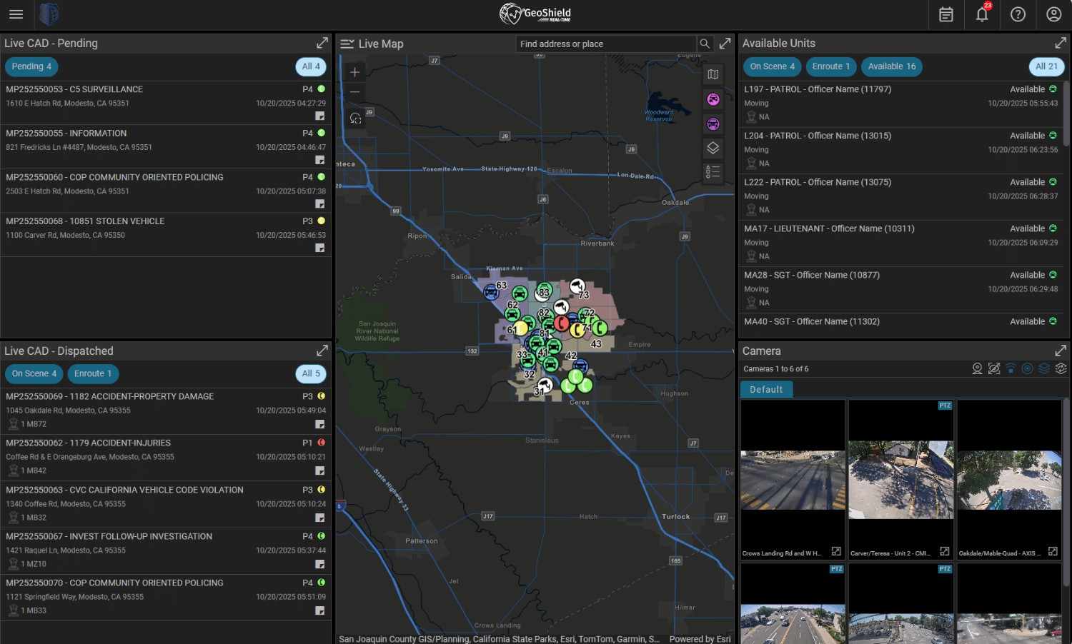
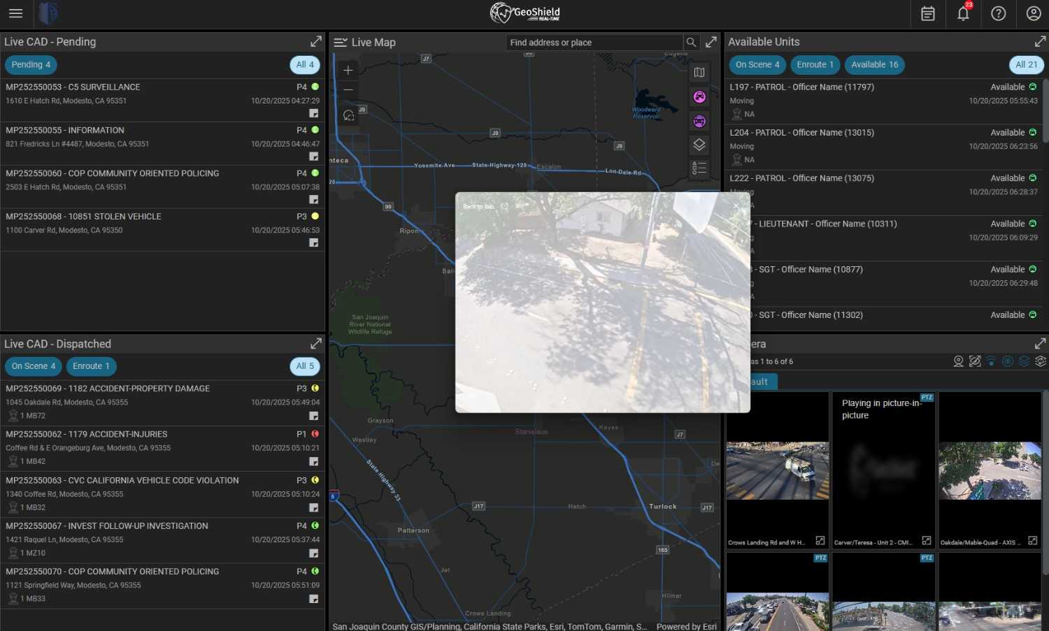
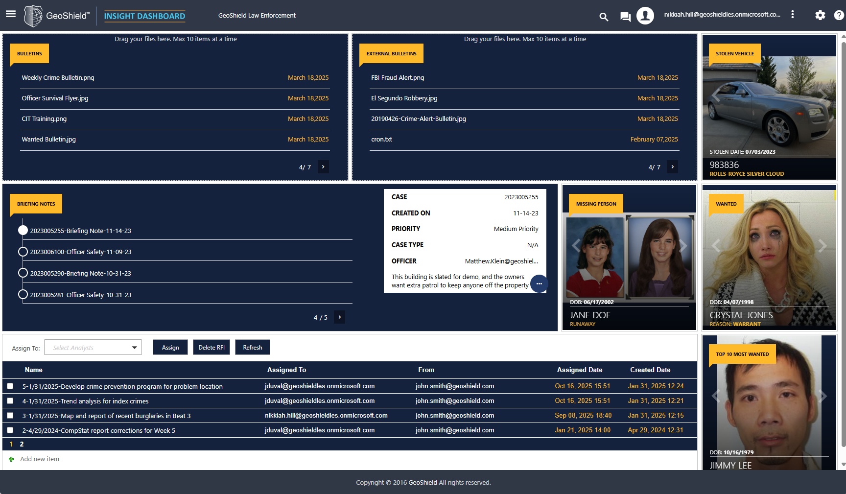
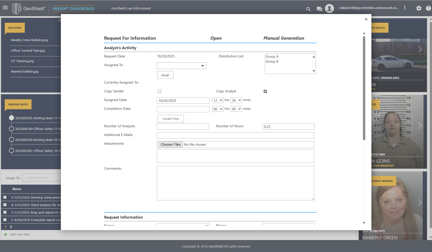
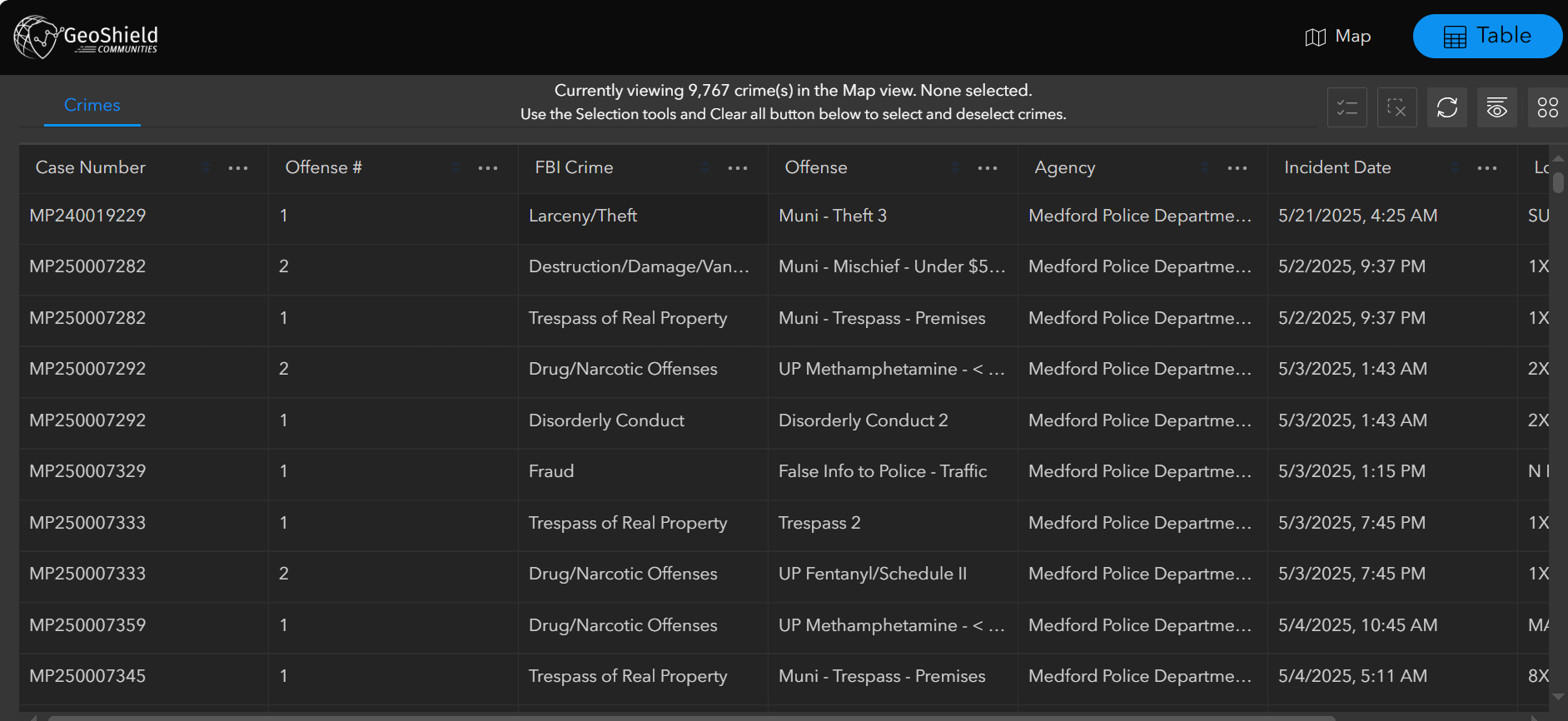
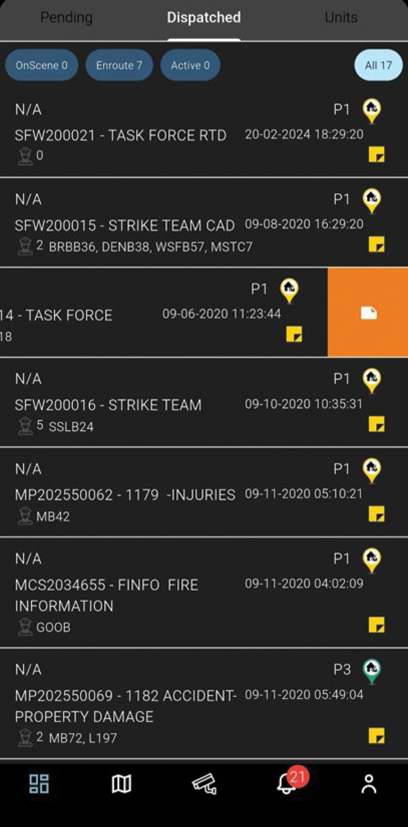
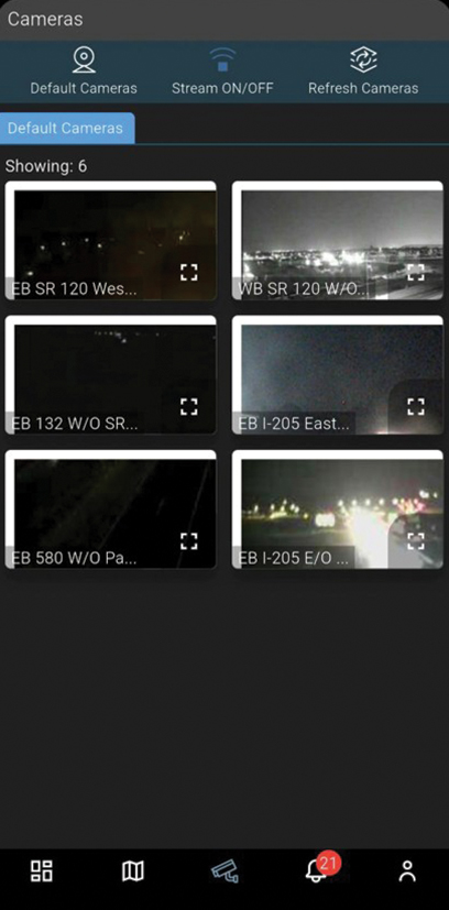
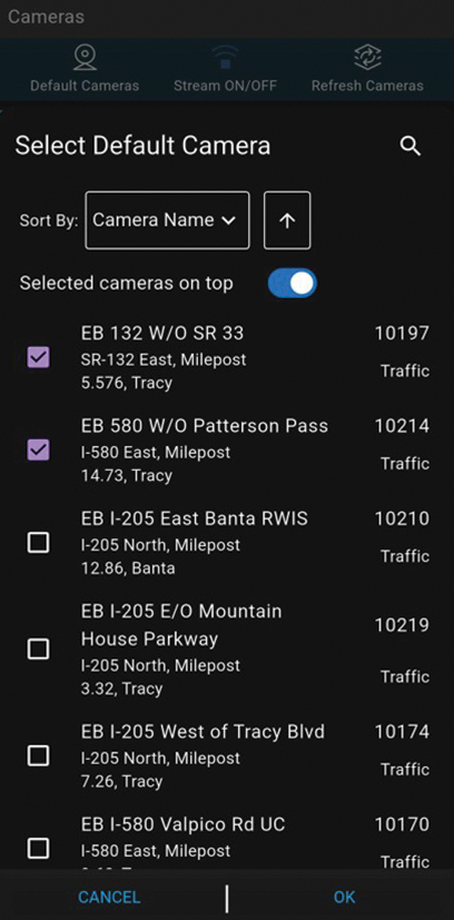
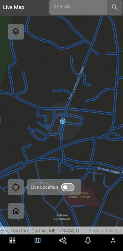
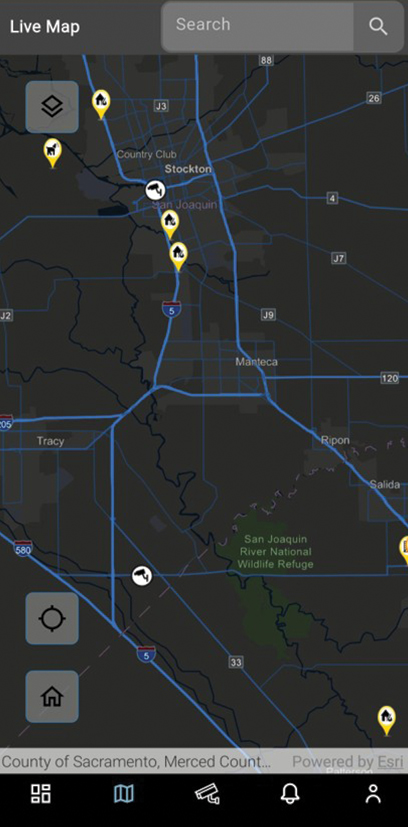
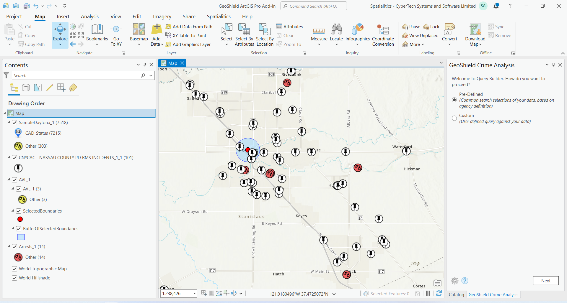
Live access to CAD, RMS, video streams, and intelligence sources through a single operational dashboard for real-time decisions. Make data-driven decisions instantly.

Proactive Crime Prevention
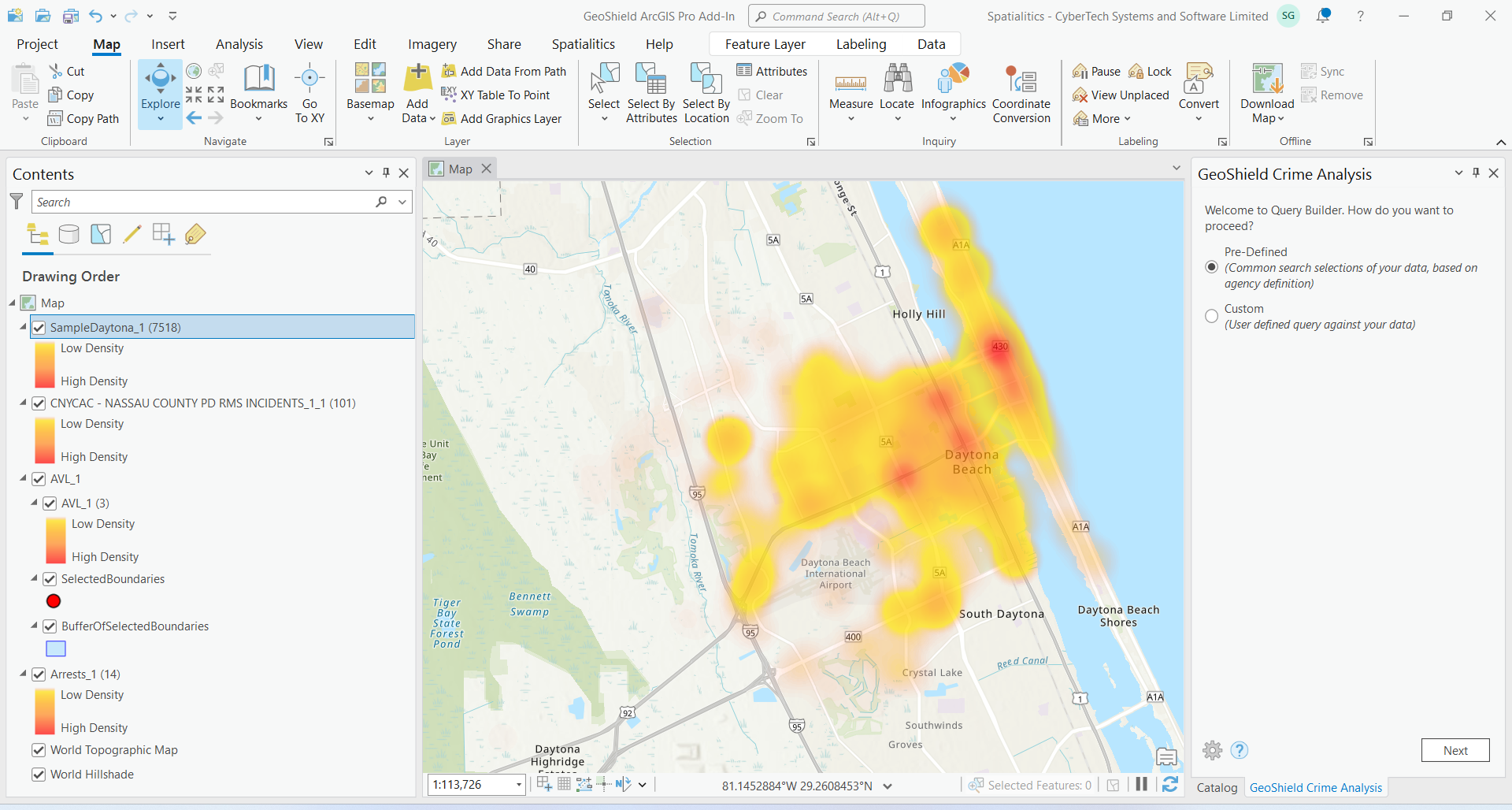
Advanced AI-powered predictive analytics identify patterns and hotspots, enabling your team to prevent crime before it happens—not just react.

Location Intelligence Focus
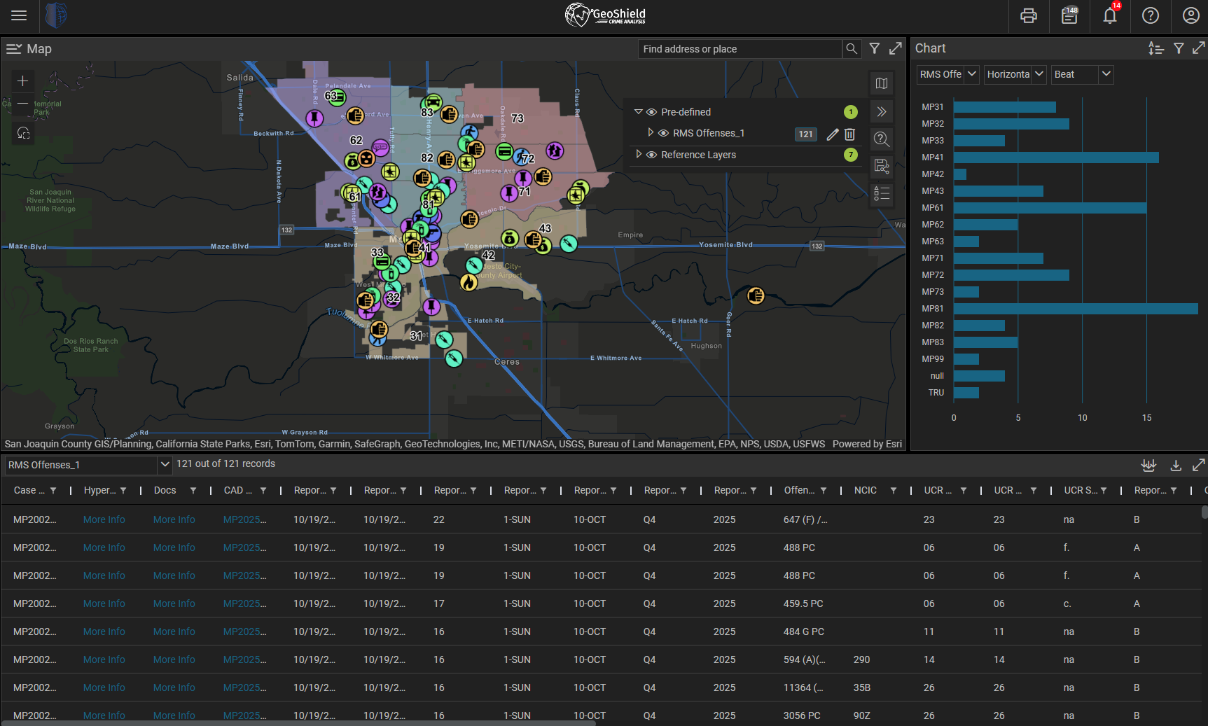
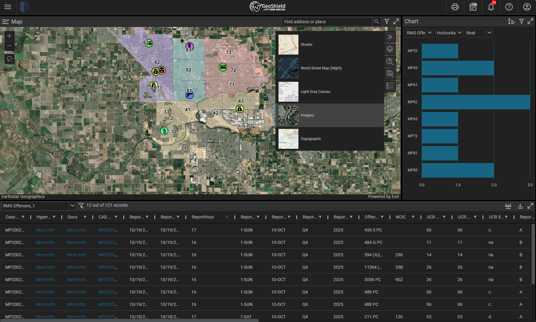
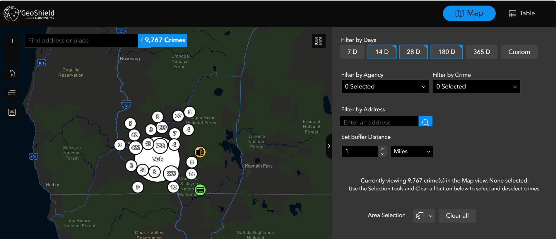
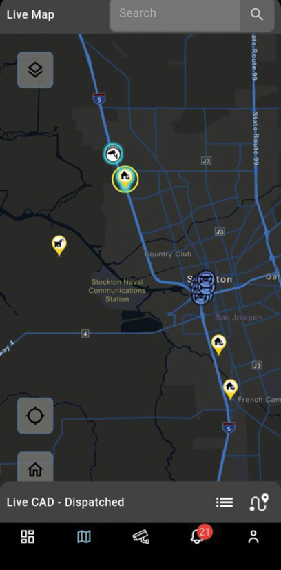
Advanced spatial analysis and GIS integration reveal crime patterns, optimize patrol routes, and enhance resource deployment strategies.

Superior Price Performance
Enterprise functionality at 50% less cost than competitors. Built on your existing systems—maximize ROI without system replacement.

Ethical AI
Framework
Responsible AI with built-in transparency, fairness, and bias prevention. Build community trust while enhancing operational effectiveness.
Trusted by Law Enforcement Leaders Nationwide


GeoShield Law Enforcement Platform in Action
Experience how GeoShield transforms raw data into actionable intelligence
Trusted by leading
Law Enforcement Agencies


FAQ
1. What is a law enforcement platform?
A law enforcement platform unifies CAD, RMS, video, LPR, and GIS data so agencies can respond faster and prevent crime proactively. GeoShield delivers this as one CJIS-compliant, cloud-based platform.
2. What is a real-time crime center platform?
A real-time crime center platform gives officers and analysts live situational awareness by streaming and mapping incident, video, and location data as events unfold. GeoShield powers real-time crime centers for agencies nationwide.
3. Is GeoShield CJIS-compliant?
Yes. GeoShield is a fully CJIS-compliant, 100% cloud-based law enforcement platform with an Ethical AI framework built in.
4. What data sources can GeoShield connect to?
GeoShield integrates with existing systems including CAD, RMS, AVL, LPR, video management, and Esri ArcGIS — with no rip-and-replace required.
5. Which agencies use GeoShield?
GeoShield is trusted by agencies such as Ogden (UT) PD, Medford (OR) PD, San Joaquin County (CA) Sheriff’s Office, and Idaho and NYS fusion centers.
Ready to Transform Your Operations?
Join the leading law-enforcement agencies that use GeoShield to prevent crime, not just react to it.